Maps and data
Included in this section of the site are maps, data and resources to help you understand what schools you may be able to access and how the allocations system works in Leeds.
Maps
Our interactive maps provide a history of cut-offs and "nearest school polygons" across the city.
Primary school maps
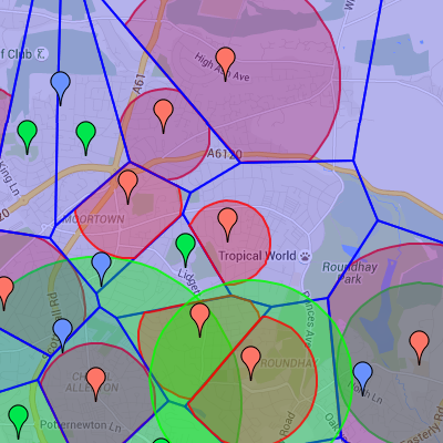 The primary maps page shows all schools, the nearest school polygons and cut-offs going back to 2010.
Secondary school maps
 The plan is to provide a similar service to the primary maps for secondary schools in the near future.
Resources
We will shortly provide links to further resources to help in choosing a school and the process.
Primary school resources
Resources available in relation to primary schools.
Secondary school resources
Resources available in relation to primary schools.